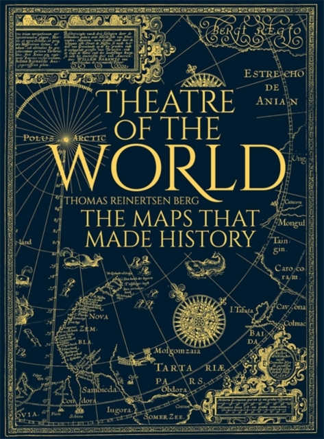
Theatre of the World: The Maps That Made History
World of Maps from the British Library
Maps That Changed the World
Maps for the Modern World
Educational Blank Outline Maps, 2-Sided World & US, 17” x 11”, 50-Pack | Great Blank Map Worksheets for Classroom or Home Study | Laminated Answer Sheet Included | Map Packs are Perfect Desk Size
Around the World in 80 Maps
Cities of the World: A History in Maps
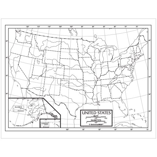
Universal Map Kappa Map Outline Map Study Pads, U.S.
Wall Vinyl Sticker World Map Outline Countries Travel Car Mural Decal Art Decor LP3372
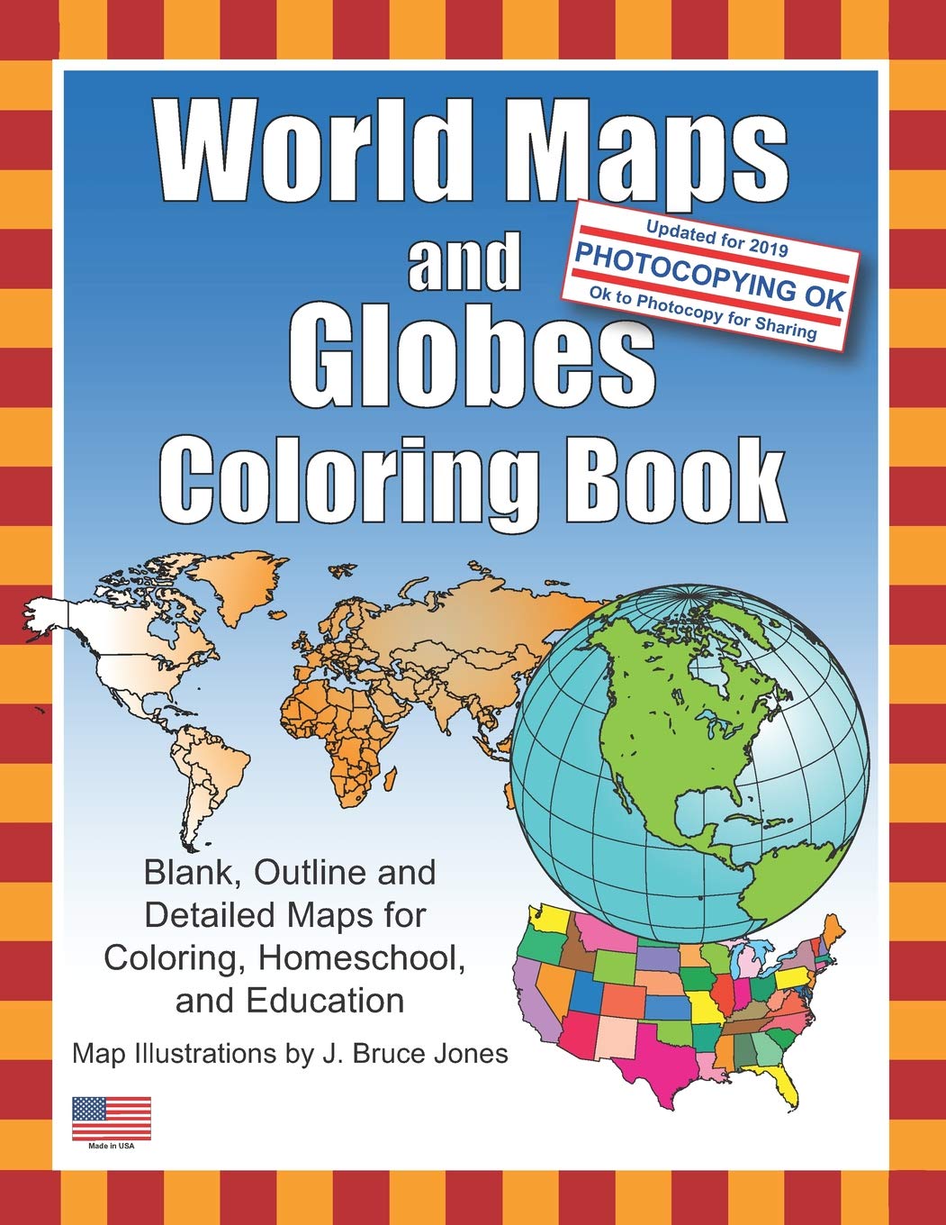
World Maps and Globes Coloring Book: Blank, Outline and Detailed Maps for Coloring, Home School and Education
50 Maps of the World: Explore the World with 50 Fact Filled Maps!
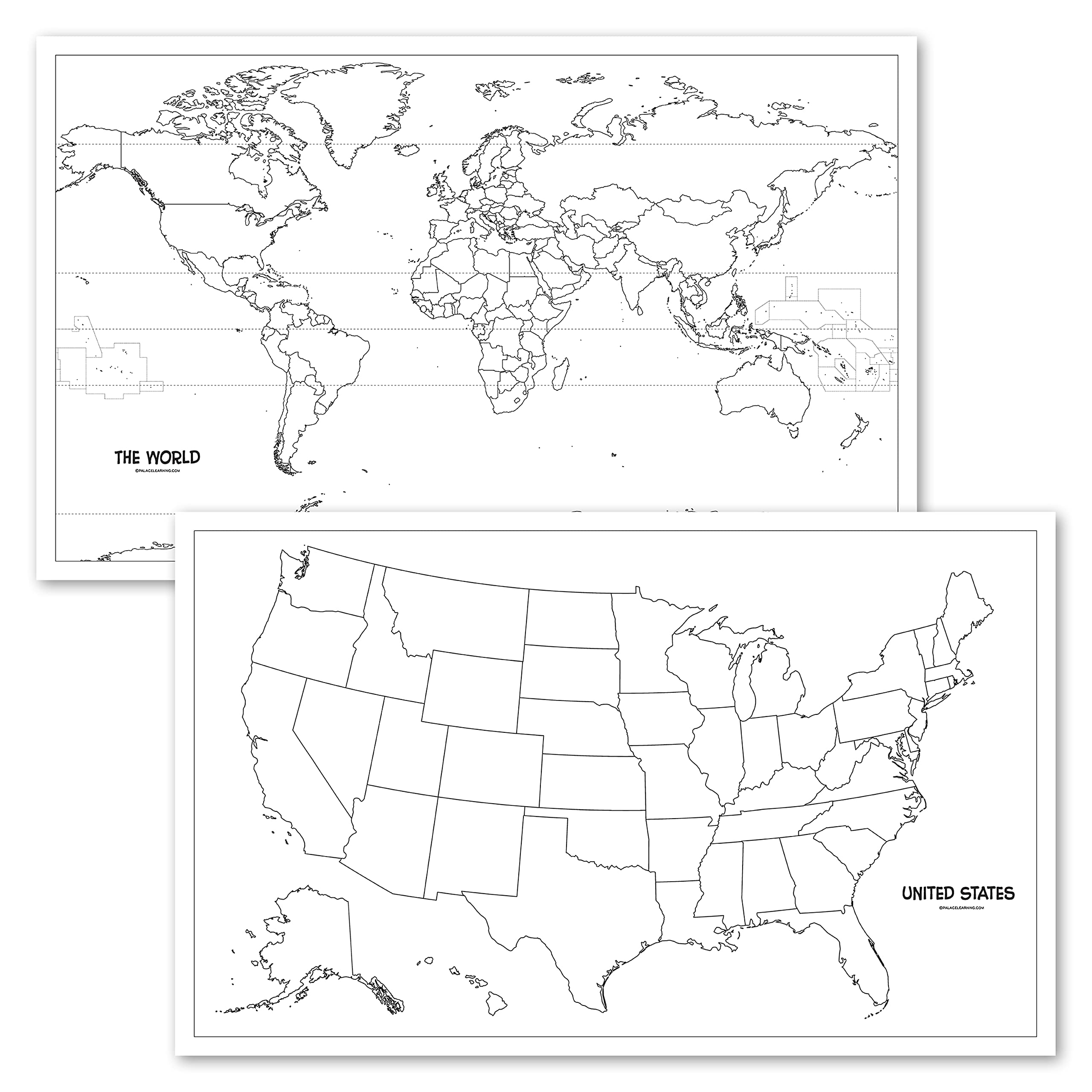
Ready-to-Go Super Book of Outline Maps: 101 Reproducible Outline Maps of the Continents, Countries of the World, the 50 States, and More
2 Pack - USA & World Map Blank Outline Posters - LAMINATED, 18" x 29" - (Wet Erase Markers Only)
4 Pack - USA & World Map Blank Outline Posters + Illustrated USA & World Maps for Kids (LAMINATED, 18" x 29")
Large Blank World Outline Map Poster, Laminated, 36” x 24” | Great Blank Wall Map for Classroom or Home Study | Free Dry Erase Marker Included | Includes Detailed Laminated Answer Sheet | Learn Fast!
World Classic Laminated: Wall Maps World
4 Pack - USA & World Map Blank Outline Posters + World & USA Maps [Blue Ocean] (LAMINATED, 18" x 29")
Laminated Blank World Map Outline Poster - Wall Chart Map of Earth - 18" x 29" (For Use With Wet Erase Markers Only)
2 Pack - Blank World Map Outline Poster + Periodic Table of the Elements Chart [Black] (LAMINATED, 18" x 29")
A History of the World in Twelve Maps
2 Pack - Blank World Map Outline Poster + World Map Chart [Blue Ocean] LAMINATED, 18" x 29" (For Use With Wet Erase Markers)
2 Pack - Blank World Map Outline Poster + Simplified World Map for Kids [Blank] (LAMINATED, 18" x 29")
History of the Second World War in 100 Maps
Evan-Moor Educational Publishers The World: Reference Maps & Forms Book (World & U.S. Maps) Paperback – Teacher's Edition, January 1, 2004
Map Outline: World Outline Map For Geography Students & Teachers for Class, Revision Notes
A1 World Wall Map Contemporary Elite Edition, Laminated, 92cm x 61cm by Swiftmaps Office Product
WORLD MAP OUTLINE AND EXERCISE BOOK: MARK DETAILS IN WORLD MAP PROVIDED IN EACH PAGE
Scratch The World® Travel Map - Scratch Off World Map Poster with Gift Tube - X-Large - 84 x 59 cm - Maps International - 50 Years + of Map Making
World Maps Coloring Book: World Regional Maps, Continents, countries of the world maps, World Geography, Outline and Blank Maps
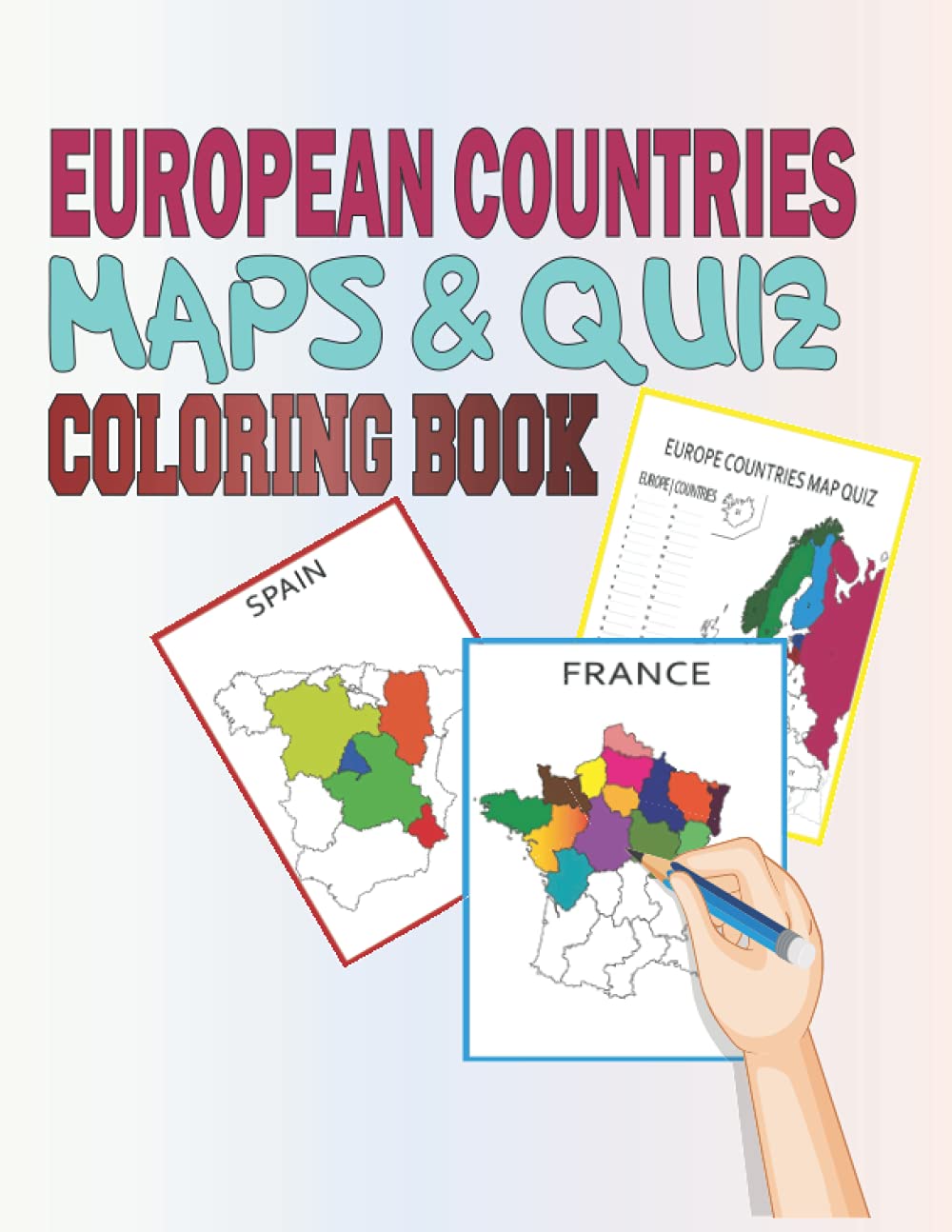
European Country Maps and Quiz Coloring Book: Blank, Outline & Political Detailed Country Maps of European Nations for Coloring, World of Maps for ... learn and color maps of european counteits
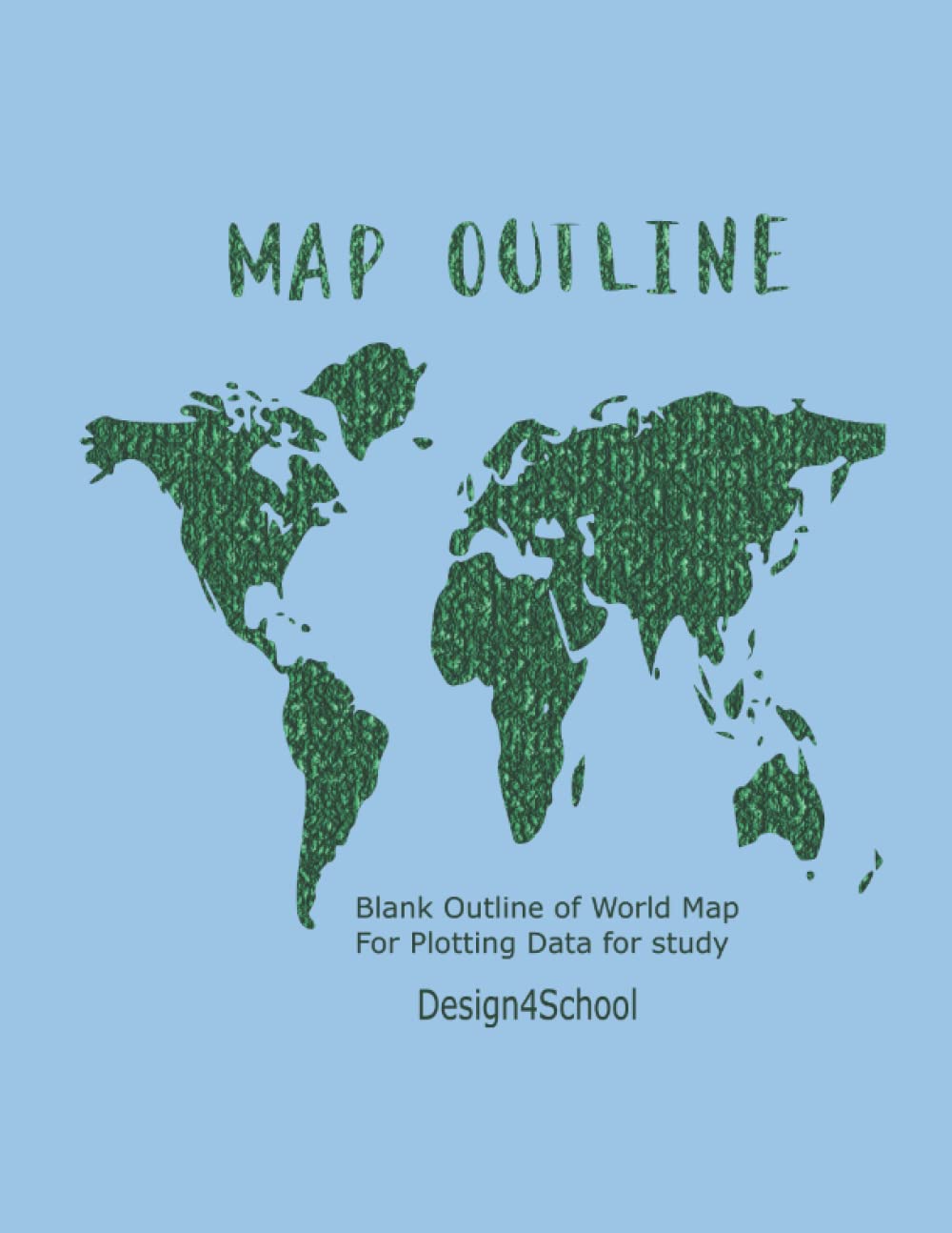
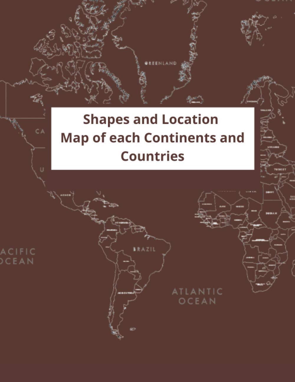
Shapes and Location Map of each Continents and Countries: Built your own world, draw your dream in the map. The outline map everyone should have for ... size (8.5"x11") (Learning World Geography)
Educational Blank Outline Maps, 2-Sided World & US, 17" x 11", 50-Pack | Great Blank Map Worksheets for Classroom or Home Study | Laminated Answer Sheet Included | Map Packs are Perfect Desk Size
Faithful Prints World Map Poster Atlas Print Geography Educational Classroom Chart (A3 (297 x 420mm))
World Maps and Globes Coloring Book: Blank, Outline and Detailed Maps for Coloring, Home School and Education
2 Pack - Blank World Map Outline Poster + Periodic Table of the Elements Chart [White] (LAMINATED, 18" x 29")
2 Pack - Blank World Map Outline Poster + World Map Chart [Blue Ocean] (LAMINATED, 18" x 29")
USA State Maps Coloring Book: 50 USA States and Territories, Blank, Outline Maps for Coloring and Education (World of Maps)
Laminated Blank World Map Outline Poster - Wall Chart Map of Earth - 18" x 29" (For Use With Wet Erase Markers Only)
2 Pack - USA & World Map Blank Outline Posters (LAMINATED, 18" x 29")
WORLD MAP OUTLINE AND EXERCISE BOOK: MARK DETAILS IN WORLD MAP PROVIDED IN EACH PAGE
Classic World Map - Maps International - Front Lamination - A0 118.9 x 84.1 cm
New Zealand - Michelin National Map 790: Map (Michelin National Maps, 790)
Giant World Map - Antique World Map Poster - Laminated – 201 x 116
World Outline Map: Adventures in Time and Place
4 Pack - USA & World Map Blank Outline Posters + World & USA Maps [Blue Ocean] (LAMINATED, 18" x 29")
Maps International - World Map - Updated 2024 - Front Sheet Lamination - 84.1cm (w) x 59.4cm (h)
Collins World Wall Laminated Map
Scratch The World® Travel Edition map Print - with Gift Tube - a3 Travel Sized 42.0 (w) x 29.7 (h) cm
Colorfull Worlds 3D Wooden World Map, Wood Wall Map, Housewarming Gift, World Map, Wall Art Decor, Wooden Travel Map, Birthday Gift (M Standard - 39x24 inches)…
Hyper Mart World map XXL poster in giant format with flags & banners (140x100cm)
World Map Tapestry,Capsceoll Blue Map Tapestry Large Map Tapestry Wall Map Tapestry Blue World Tapestry Map Outline Tapestry Wall Hanging for Dorm Decor 80X60 Inches,Blue White
Wallpops Self Adhesive Kids World Map
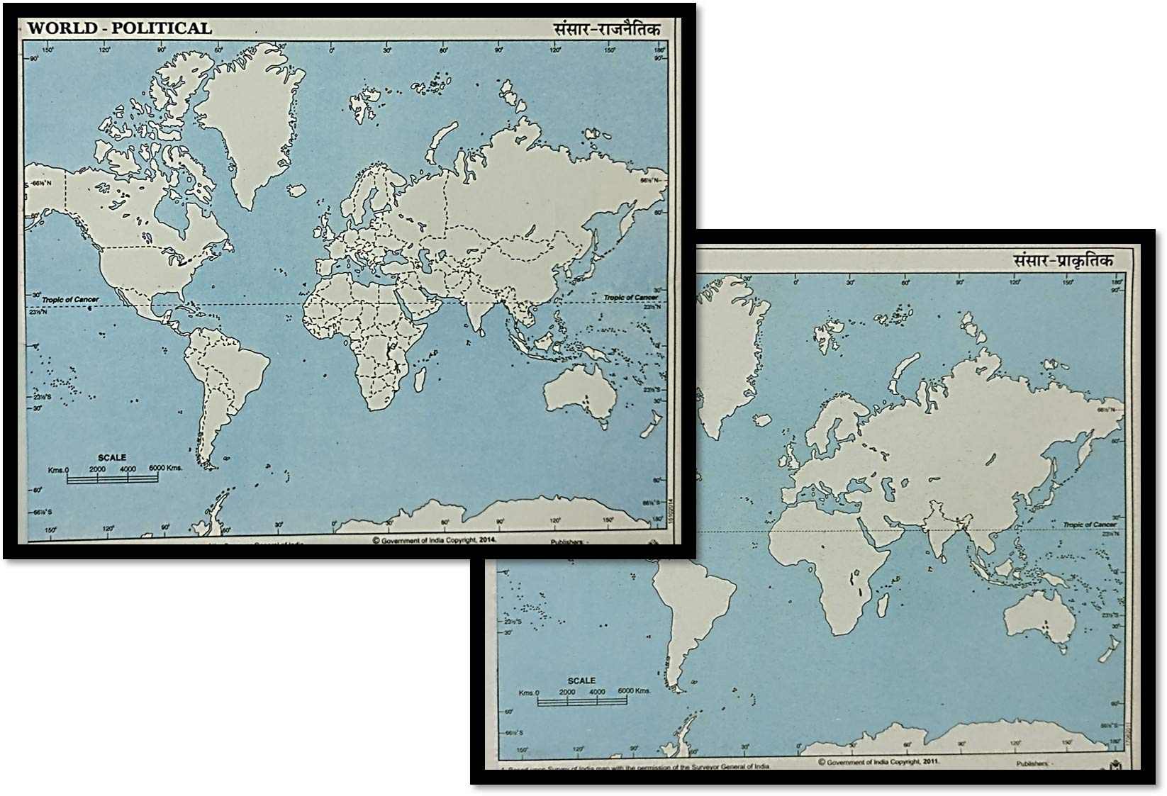
Outline Practice map of India and World (Both Political and Physical map) | A-4 BIG SIZE | Set Of 100 Maps | Printed on High Grade Paper
Little Wigwam World Map "No Tear Guarantee" Educational Poster (60 x 42cm)
Swiftmaps 92cm x 61cm Laminated World Premier Wall Map Mural Poster A1
GDirectWORLD MAP WALL ART | WALL DECALS ARE PERFECT TO DECORATE HOME OR OFFICE | OUR WORLD STICKERS ARE CREATED IN THE UK AND WE OFFER FAST DELIVERY ON ALL WORLD MAP WALL STICKER
Maps International Scratch the World® Travel Map – Black Scratch Off World Map Poster – 84 x 59
DECOWALLDLT-1609G Modern Grey World Map Kids Wall Stickers (X-Large 164 x 90cm) Decals Peel and Stick Removable for Nursery Bedroom Living Room Art murals Decorations
Image on ROLLED CANVAS Old World Map Blue Archivio - Travel horizontal Art print WorldfloralMap oceans continents blue tan outline Canvas fine art 24_X_49_in
Global Walkabout Scratch Off World Map with Flags background – Deluxe XXL A1 Travel Size World Map Poster – Countries and Facts – Travel Gift (Black)
USA State Maps Coloring Book: 50 USA States and Territories, Blank, Outline Maps for Coloring and Education: Volume 5 (World of Maps)
Shuanghao Wall Stickers Murals Background Poster Decoration Mirror Fashion Art Creative Acrylic 3D World Map Mundi for Office Study Living BedRooms Home Large Murals Wall Decals Stickers Black120*60
GOODS+GADGETS World Map XXL Poster, Glossy, 140x100cm
2 Pack - Blank World Map Outline Poster + Simplified World Map for Kids [Blank] (LAMINATED, 18" x 29")
World Map - Wall Chart - EXTRA LARGE - A1 (850mm x 594mm) - Laminated - Geography Secondary School Classroom Wall Charts by Daydream Education.
Luckies Scratch Map | Travel Map & Scratch Off World Map | X-Large Scratch Map | World Map Scratch Off Map | Travel Map To Scratch Off Travels | World Map Scratch Off Deluxe
Countries of the World Maps and Flags Coloring Book: 64 Illustrations of Outline Maps, Subdivisions and Flags
Firewood Prints Grey & White A1 Map Of The World Travel Poster Wall Art
Scratch Off Map UK | A2 Poster + Accessories Kit & Travel Poster Tube. Campervan Accessories UK Map for Day Trips. Travel Journal Wall Art. Nebula Watercolour Designed Scratch Off Poster
European Country Maps Coloring Book: 46 Blank, Outline and Detailed Country Maps for Coloring, Home, and Education: 5 (World of Maps)
Maps International - World Map with Flags - Laminated - 84.1cm (w) x 59.4cm (h)
Scratch Off Map - Ultimate Watercolor Pack (World and Europe) | 2 Watercolor Scratch-Off Maps | 2 Personalized Travel Map Posters with Outlined States, Flags and Beautiful Colours
Maps International Scratch The World Watercolour Map - Scratch Off World Map Poster - Most Detailed Cartography - 84 (w) x 59 (h) centimetres Kitchen & Home
Our Amazing World - Giant Children's Illustrated Map of The World with Alphanumeric Grid - Children's School Classroom Teaching Resource - Size 1 x 1.4m (Approx)
WORLD AND INDIA Blank Outline MAP Political AND Physical map for practice (200SHEETS)(50X4)
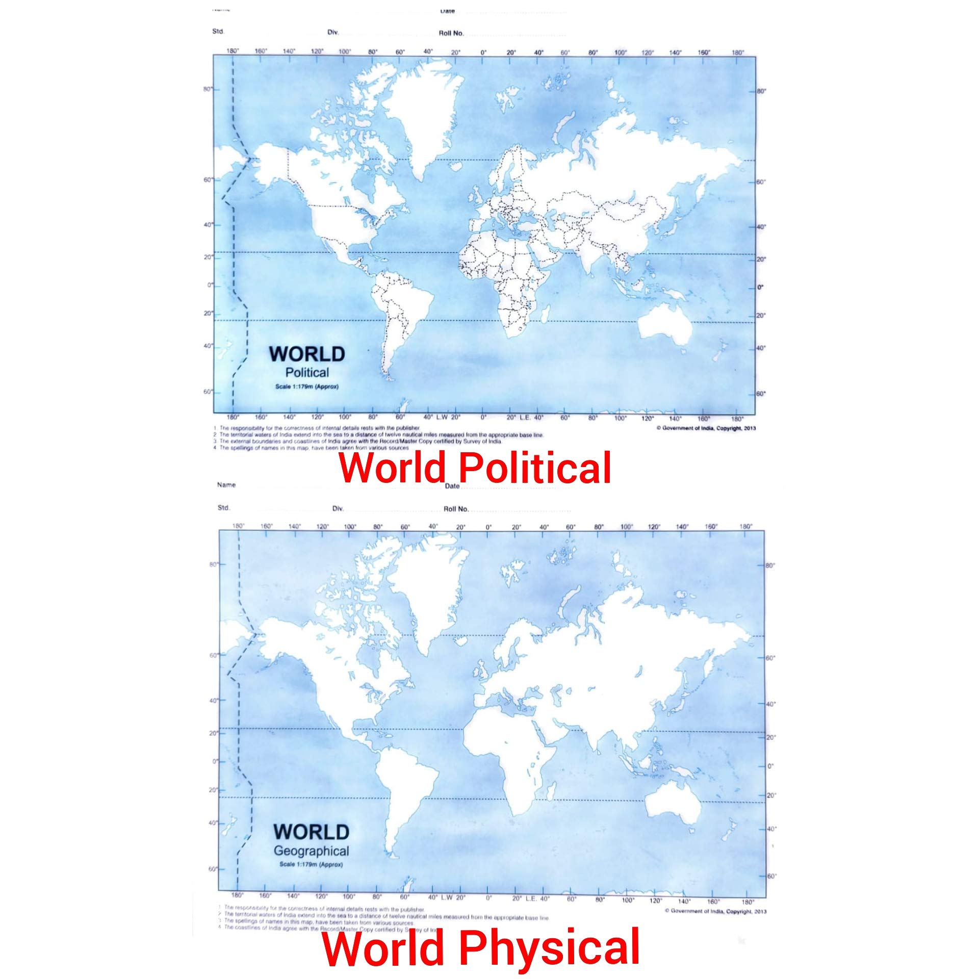
Set of 100 Practice Educational Blank Outline Maps of WORLD POLITICAL (50 MAPS) AND WORLD PHYSICAL (50 MAPS) 7” x 6.5” | Great Blank Map Worksheets for Classroom or Home Study | Map Packs are Perfect Desk Size (WORLD - POLITICAL AND PHYSICAL MAP)
advancedestore WORLD OUTLINE Practice Map 100 PAGES A4 SIZE
BOOK OF OUTLINE PRACTICE MAPS (SET OF 2 BOOKS, INDIA AND WORLD)
SET OF PRACTICE OUTLINE MAP OF WORLD POLITICAL (50 MAPS) AND PHYSICAL (50 MAPS) English
CUT AND DRAW SMALL BOOK OF OUTLINE PRACTICE MAPS (100 ASSORTED MAPS) CONTAINS INDIA MAP, WORLD MAP AND CONTINENTS MAP Map – 30 September 2019
Physical World Map- Size 70x100 cms|English Language|Laminated on both sides|Premium Quality Study Material Map – 31 December 2018
Practice Outline World Map 50 Political 50 Physical Maps By Indian Book Depot (Map House)
BLANK OUTLINE MAP OF WORLD & INDIA POLITICAL MAP FOR PRACTICE (50x2) 100 sheets
Blank OUTLINE Map of INDIA POLITICAL & WORLD PHYSICAL map For practice 100 SHEETS(50x2)
Arihant World Political Outline Map Booklet - 24 Maps in One Booklet (Set of 3 Booklets)
Outline Practice map of World (Both Political and Physical map) | A-4 BIG SIZE | Set Of 100 Maps | Printed on High Quality Paper
Big Cut and Draw Book of Outline practice Maps Paperback – 1 January 2021
Outline Practice map of India and World (Both Political and Physical map) | Size- 18 x 22cm | Set Of 200 Maps | 50 Maps of Each Type


![4 Pack - USA & World Map Blank Outline Posters + World & USA Maps [Blue Ocean] (LAMINATED, 18" x 29")](https://m.media-amazon.com/images/I/913P5j7APkS.jpg)

![2 Pack - Blank World Map Outline Poster + Periodic Table of the Elements Chart [Black] (LAMINATED, 18" x 29")](https://m.media-amazon.com/images/I/910PrcYfQPS.jpg)

![2 Pack - Blank World Map Outline Poster + World Map Chart [Blue Ocean] LAMINATED, 18" x 29" (For Use With Wet Erase Markers)](https://m.media-amazon.com/images/I/91jyLoQoPWS.jpg)
![2 Pack - Blank World Map Outline Poster + Simplified World Map for Kids [Blank] (LAMINATED, 18" x 29")](https://m.media-amazon.com/images/I/91g9mNMH9KS.jpg)


![2 Pack - Blank World Map Outline Poster + Periodic Table of the Elements Chart [White] (LAMINATED, 18" x 29")](https://m.media-amazon.com/images/I/91za0NxeNVS.jpg)