Shop Top-Quality Ordnance Survey Online
Compare, choose, and shop Ordnance Survey with confidence, all from our trusted store.

Lyme Regis & Bridport Map | Chard | Ordnance Survey | OS Explorer Map 116 | England | Walks | Hiking | Maps | Adventure
4,020 ₨

OL45 The Cotswolds, Burford, Chipping Campden, Cirencester & Stow-on-the Wold 1:25K
8,687 ₨

Ordnance Survey Derbyshire Street Atlas (Ordnance Survey/ Philip's Street Atlases)
2,203 ₨

Ordnance Survey South Yorkshire Street Atlas
FREE

Epping Forest & Lee Valley Map | Hertford & Harlow | Ordnance Survey | OS Explorer Map 174 | England | Walks | Hiking | Maps | Adventure
10,799 ₨

The Ordnance Survey Puzzle Tour of Britain: Can You Crack over 300 Fiendish Puzzles? Follow the Clues Around Great Britain to Find Out!
8,078 ₨

Map of Ancient Britain | Historical Map & Guide | Ordnance Survey | Roman Empire | Prehistoric Britain | History Gifts | Geography | British History
3,202 ₨

The Ordnance Survey Kids' Adventure Book: Puzzle, Explore, Map-Read...and More!
16,629 ₨

Ordnance Survey Bristol and Avon Street Atlas (Ordnance Survey/ Philip's Street Atlases)
49,682 ₨

Roadmap Scotland. Orkney & Shetland
12,259 ₨

The Ordnance Survey Puzzle Book: Pit your wits against Britain's greatest map makers from your own home! Paperback – 18 Oct. 2018
15,559 ₨

LR 114 Anglesey
15,549 ₨

The Peak District (Ordnance Survey/AA Leisure Guides)
2,255 ₨

The Ordnance Survey Great British Treasure Hunt: Solve the Clues on a Puzzle Adventure
11,229 ₨

Chichester Map | South Harting & Selsey | Ordnance Survey | OS Explorer Map OL08 | England | Walks | Hiking | Maps | Adventure
4,145 ₨

Aberystwyth and Machynlleth (Landranger Maps) 135
9,549 ₨

The Ordnance Survey Great British Treasure Hunt: Can you solve over 350 clues on a puzzle adventure from your own home?
3,972 ₨

Ordnance Survey Memoirs of Ireland: Parishes of Co. Armagh 1835-8: v. 1 (The Ordnance Survey memoirs of Ireland 1830-1840) Paperback – Import, 1 September 1990
11,189 ₨

Roman Britain Historical Map OS
18,549 ₨

The Ordnance Survey Journey Through Time: From the Sunday Times bestselling puzzle series!
18,859 ₨

Ordnance Survey Memoirs of Ireland: Parishes of Co. Antrim XIII 1833, 1835, 1838: v.35 (The Ordnance Survey memoirs of Ireland 1830-1840)
10,629 ₨

Cotswolds & Gloucestershire OS Tour Map 8 1:100K
5,979 ₨

The Ordnance Survey Journey Through Time
9,459 ₨

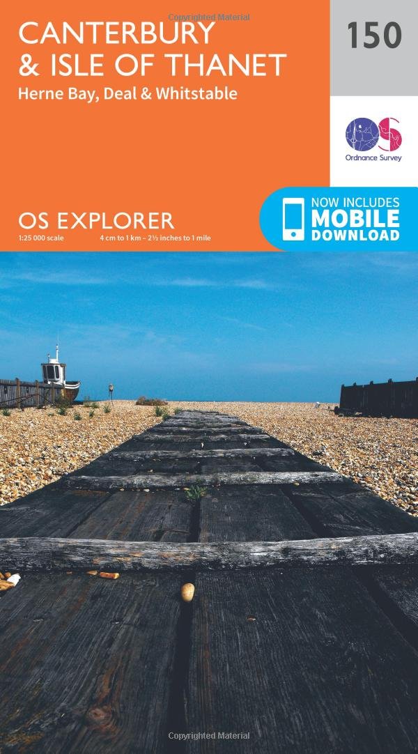
Canterbury & Isle of Thanet Map | Herne Bay, Deal & Whitstable | Ordnance Survey | OS Explorer Map 150 | England | Walks | Hiking | Maps | Adventure Map – Folded Map, 16 Sept. 2015
11,099 ₨

Paddington 1872: London Sheet 060.1 (Old Ordnance Survey Maps of London)
143,469 ₨

LR088 Newcastle Upon Tyne, Durham and Sunderland (Landranger Maps)
7,427 ₨

Landranger 41 Ben Nevis, Fort William & Glen Coe (OS Landranger Map): 041
7,679 ₨

Yorkshire Dales Map | Northern & Central | Ordnance Survey | OS Explorer Map OL30 | England | Walks | Hiking | Maps | Adventure
11,249 ₨

New Forest Map | Southampton, Ringwood, Ferndown, Lymington, Christchurch & Bournemouth | Ordnance Survey | OS Explorer Map OL22 | England | Walks | Hiking | Maps | Adventure
11,129 ₨

East Acton and Wormwood Scrubs 1871: London Sheet 058.1 (Old Ordnance Survey Maps of London)
182,149 ₨

Holland Park and Shepherds Bush 1913: London Sheet 073.3 (Old Ordnance Survey Maps of London)
143,469 ₨

ORDNANCE SURVEY Explorer 130 Salisbury & Stonehenge Map with Digital Version
15,719 ₨

The Cotswolds Map | Burford, Chipping Campden, Cirencester & Stow-on-the-Wold | Ordnance Survey | OS Explorer Map OL45 | England | Walks | Hiking | Maps | Adventure
11,029 ₨

Whitechapel, Spitalfields & the Bank 1894 (Old Ordnance Survey Maps of London)
151,199 ₨

Warminster & Trowbridge Map | Westbury & Mere | Ordnance Survey | OS Explorer Map 143 | England | Walks | Hiking | Maps | Adventure
11,329 ₨

Hadrian’s Wall Map | Haltwhistle & Hexham | Ordnance Survey | OS Explorer Map OL43 | England | Walks | Hiking | Maps | Adventure
4,118 ₨

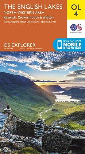
Lake District OS Explorer map OL4 The English Lakes - North Western area: Keswick, Cockermouth & Wigton
7,888 ₨

Ludlow, Church Stretton and Wenlock Edge (Landranger Maps) 137 (OS Landranger Map)
FREE

West End 1870: London Sheet 061.1 (Old Ordnance Survey Maps of London)
151,199 ₨

Newtownards 1901: Co Down Sheet 6.09 (Old Ordnance Survey Maps of County Down)
149,269 ₨

Ireland Holiday - West (Irish Maps, Atlases & Guides)
6,485 ₨

Harlech, Porthmadog & Y Bala Map | Snowdownia National Park / Barc Cenedlaethol Eryi | Ordnance Survey | OS Explorer Map OL18 | Wales | Walks | Hiking | Maps | Adventure: Porthmadog & Bala / Y Bala
9,649 ₨

Kensington 1914: London Sheet 074.3 (Old Ordnance Survey Maps of London)
143,469 ₨

Wye Valley & Forest of Dean / Dyffryn Gwy a Fforest y Ddena Map | Monmouth & Chepstow | Ordnance Survey | OS Explorer Map OL14 | Wales | Walks | Hiking | Maps | Adventure
11,399 ₨

South Downs Short Walks Made Easy | Ordnance Survey | 10 Accessible Walks For Everybody | Guidebook | England | Walks | Adventure: 10 Leisurely Walks (OS Short Walks Made Easy)
12,449 ₨
